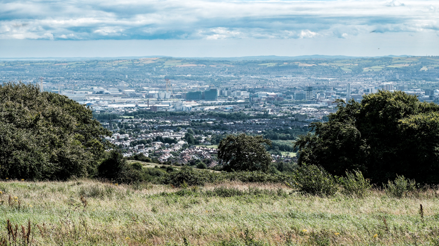
Squires Hill, Belfast, viewed from Cave Hill Country Park.
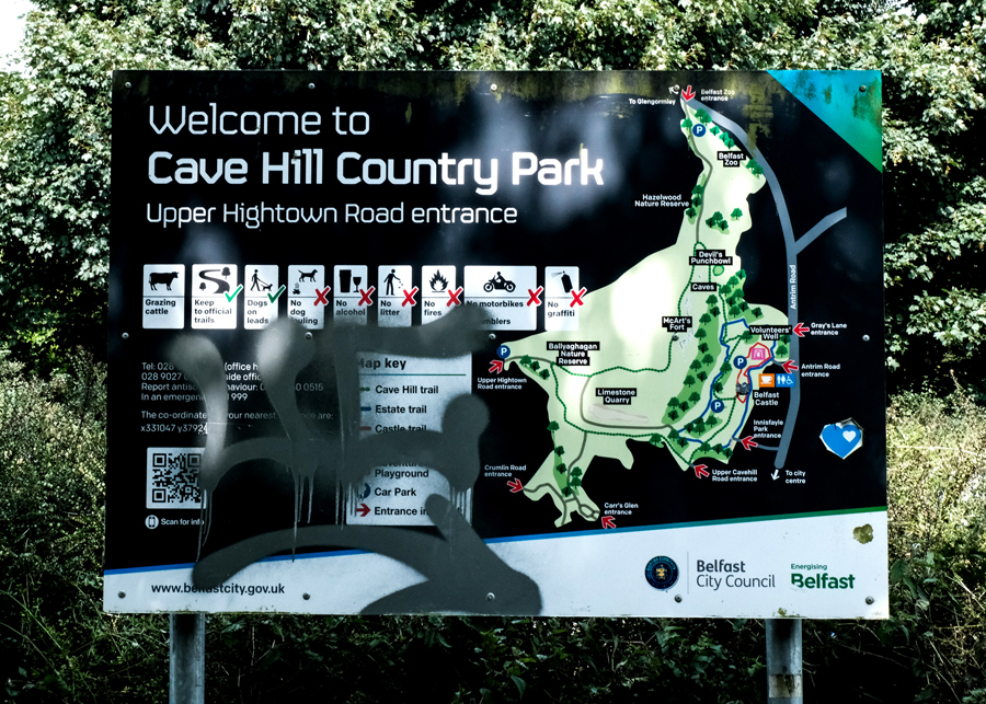
Today, Thursday 7th August 2025, I had a few minutes to snatch a packed lunch sandwich between appointments, and where better to stop en-route, than the Cave Hill Country Park.

After the quick lunch, I jumped out of the car to look at the stunning views across the city, and the surrounding countryside, a moment or two in a busy day, to soak in the stunning views of the Lagan estuary and the beautiful hills that cradle our city, from the Castlereagh and Holywood Hills in the south to the majestic Black Mountain range in the north It’s hard not to fall in love with this landscape.
At school, all those years ago, a geography teacher told the class that Belfast is almost like a saucer! The Lagan estuary and the city is sheltered under these two ranges of hills that almost surround the city. The Black Mountain range, includes Carnmoney Hill, Cave Hill, Squire’s Hill, Wolf Hill, Black Mountain, and its highest peak, Divis Mountain. (To the south of the city, the River Lagan flows along the Annandale and Ormeau embarkments, out into Belfast Lough).
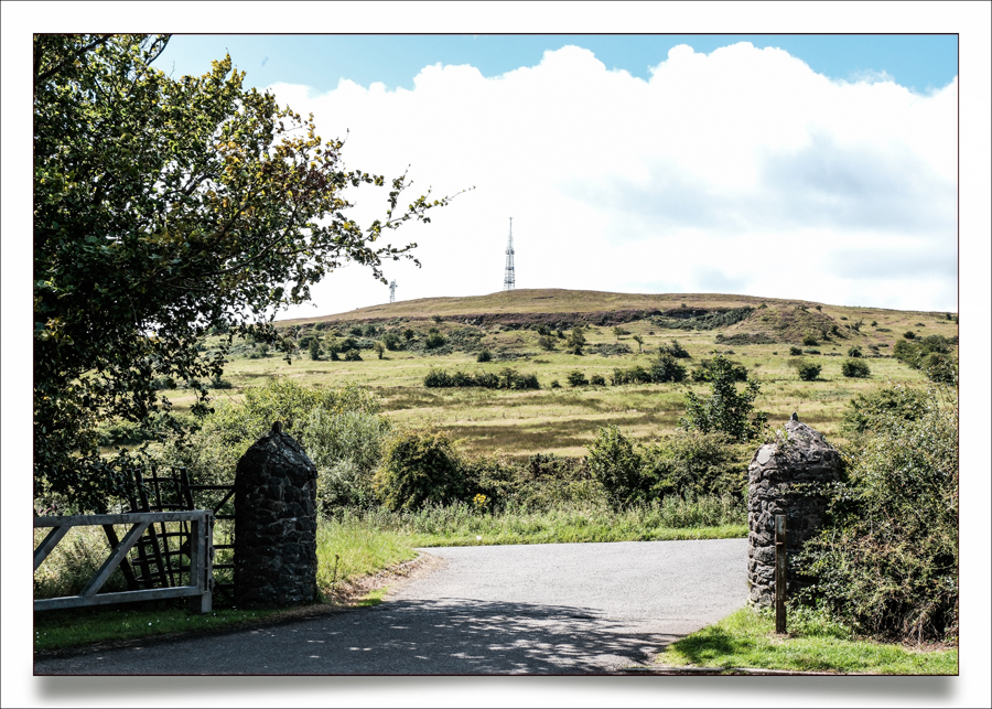
The photograph of Squire’s Hill was made with the Fujifilm X-T50, looking over the fields from Cave Hill Country Park, on the Upper Hightown Road.